Inner Bair Island
Inner Bair Island
|
|
27 March 2004 - It was overcast, but not too cold. I was dog tired of sitting on my butt all day in front of the laptop. I don't know how it happened, but we made it out of the street and down near Pete's harbor. I've wanted to hike the bay wetlands for a while. This part is beautiful. I didn't realize how big the wetlands is. It must be a mile from 101 East until you are at the actual bay.
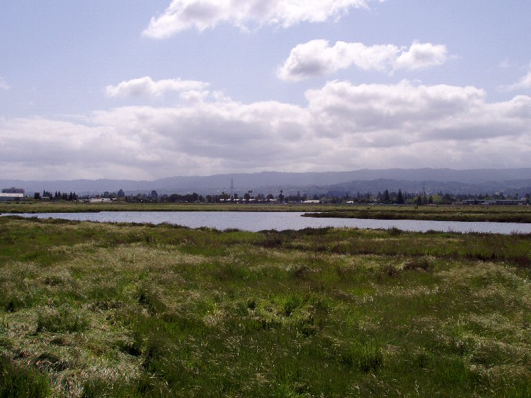 |
This is the view looking back towards 101 from about half way into our hike. You can see how far away the freeway is. |
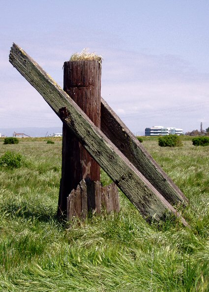 |
I like these solitary leftovers from something that was here before. This guy was all alone in a field near the path we were on. |
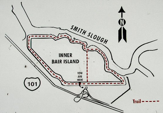
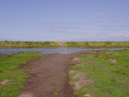
We followed the map above that's posted at the entrance to the park. We saw that shortcut trail right across the island. Of course, we took it. Right off the bat we had to cross a little slough, but it was only a few inches deep. The path was filled with goose poop. All over the place. Gawd, those animals make a mess. Anyway, after a nice walk we came to the place where our path would join with the perimeter path. Sounded like a nice idea, but on the right you can see what we found. There was no way across this. It was low tide, yet the slough was still a couple of feet deep. |
 |
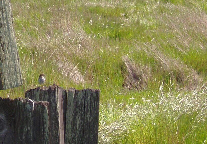
This little guy was hanging out on top of another old pile just overlooking the field. Green waving grasses. Wow. To the right you can see how low the tide was when we walked by. |
 |
| Then there are these nut cases. I can't blame the little boy, but what is his mother thinking? I guess she was teaching him the value of conservation! | 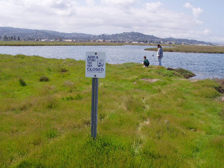 |
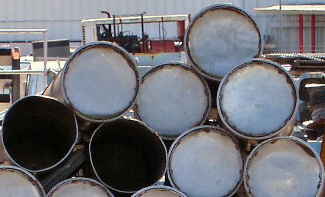 |
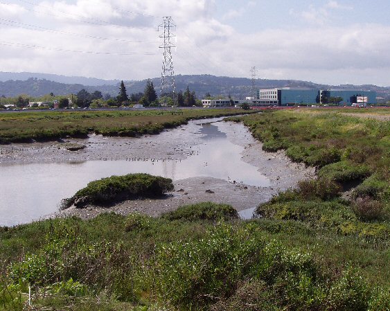
I'm foolish too - I like pictures of industrial stuff. This is what you pass on the way from Pete's Harbor to Bair Island. |